Section 11: You Can’t Pen These Woods
Metacomet Trail: Section 11
Penwood State Park to Farmington River, 6.2 miles
October 14, 2011
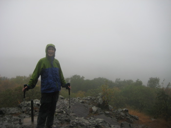 There was no happier boy in the world than me, waking up on Friday the 14th. It had been a full FOUR years since I had hiked the Metacomet Trail and now, with a day off from work, my wife and I were setting out again. Now, I don’t blame her for the four year hiatus. There were a few factors that played into this:
1) Winter hiking in Connecticut is just not something Vietnamese people like to do.
2) Super hot and/or humid days are not kind to my wife either.
3) We got Damian’s rather difficult diagnosis in mid-2008, which sort of put everything on hold for… for forever in a way.
4) A busted heel took me out of commission for half a year.
5) I just never pushed it as I always maintain that this has always been a multi-year effort
6) Certain northern sections of the trail have been closed and/or under re-routing for a while off and on
7) Hoang was pregnant again in 2010 and then Calvin came along in April 2011 and…
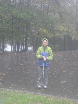 And here we are. Hitting the trail together again just like we’d never left it. And like I said, I was ecstatic! Nothing could dampen our spirit! Oh, wait…
Another day of epic downpours was forecast. Great. At this point, we here in north-central Connecticut are almost TWO FEET above the normal rainfall amount for a whole year! But Hoang never even mentioned it, as she’d steeled herself for the rain all week and afterwards, claimed she had not a single thought of postponing our hike. How did I get so lucky?
I don’t know, but I do try to be sure I tell her how much I appreciate her every day. I was also lucky that the short section we’d be hiking was pretty much entirely ridgeline walking, so there would be no chance of dealing with flooding or anything. This bore itself out, though we did have to deal with pop-up rivers along the trail and of course very slippery conditions throughout.
In the time since we last hiked the Metacomet, it officially became part of the federally recognized New England 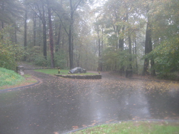 Trail. There are cool new signs at major road crossings now and everything. This designation was years in the making, so you all should be sure to thank any and all who worked on it. The Metacomet is only a part of the NET, which when complete, will allow hikers to hike from the Long Island Sound in Guilford (on the new Menunkatuck Trail) through central Connecticut (on the Mattabesett Trail, which I’ve completed), then the Metacomet and through Massachusetts on the Monadnock Trail up to the top of Mt. Monadnock just across the border in New Hampshire – about 200 miles total. (I should note that I’m going to wait for the major re-route to be completed in central MA before I set out north of the border.)
As ordained, the skies opened up as we arrived at the Penwood State Park lot to begin our hike. It was absolutely POURING as we set out down the park road. I should note that Hoang and I brought Damian here once a few years ago and hiked the first half mile or so with the boy. As the trail leaves the road to seek the ridgeline, it climbs fairly earnestly for a quarter mile or so. I vividly recall carrying Damian up the hill back then, but hey, at least we got some non-rainy pictures then:
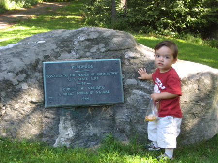
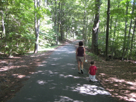
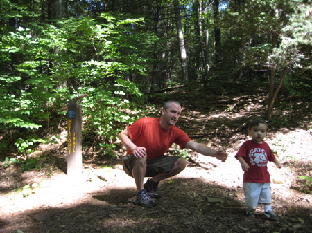
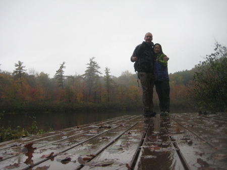
Penwood is only about 10 minutes from my house but for some reason I’ve never given it the attention it deserves. It’s pretty big (about 800 acres) and has some rather beautiful ridgeline views and other attractions. Of course, Hoang and I saw nothing by clouds – and that was only after wiping the rain out of our eyes. But the trail is 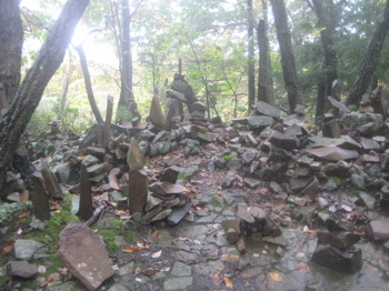 wonderfully maintained and travels through a nice mix of hemlock/pine groves, oak/beech forests and laurel stands. There is a distinct beauty to walking in cloudy conditions. Sure, buckets of rain makes the hike a bit of a slog, but as long as it’s over 50 degrees, you should really not shy away from doing it. There is a certain poetic beauty in doing so… And as my friend Cumulus says, fall and spring colors “pop” better in such conditions. (This assumes a better photographer than I.)
Unfortunately, conditions were so bad that just taking my camera out was exposing it to waterborne destruction. Oh well. So as we make our way down to the very pretty Lake Louise, let’s learn how this place came to be state-owned, from the DEEP themselves:
“With this gift in 1944 to the citizens of Connecticut of nearly 800 acres, Curtis H. Veeder wished only that his beloved hilltop, “be kept in a natural state so that those who love nature may enjoy this property as I have enjoyed it.” Veeder was an industrialist, inventor and outdoorsman. Early maps of Penwood evidence Veeder’s engineering skill and demand for precise accuracy. Surveying, often after dark, he used a complex theodolite instrument and a flashlight to establish a true meridian line from the exact position of a star.”
So you came here to read about a hike along the Metacomet Trail and left knowing what the heck a theodolite is. Continuing…
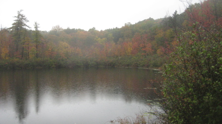
Lake Louise
“Ardent hikers, Veeder and his wife, Louise, built many trails from which to more intimately observe the wildlife, woodland phenomena and scenic vistas surrounding the mountain. Appropriately, a section of Connecticut’s Blue Blazed Trail system, the Metacomet, now traverses much of Penwood. In April, as the snow recedes, colorful wildflowers carpet gravelly pockets of soil. The trillium is common as are dutchman’s breeches, hepatica, bloodroot, and trailing arbutus. Occasionally the hiker may glimpse the flight of a pileated woodpecker, turkey vulture or bald eagle.
Honoring the donor’s request, ground-fires, horses and camping are excluded from the activities at Penwood.”
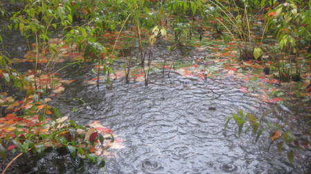
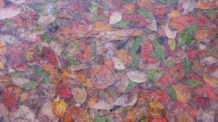
Art!
And now we know where Lake Louise got its name! Personally, I don’t want to know anything about any Dutchman breeches though.
 The rain let up for a few minutes just as we arrived at the lake. I’m sure on a nice weekend day that there are more people around – as I think the park road almost all the way to the lake is open to cars. As Hoang and I enjoyed those 4 minutes (literally) of light rain, I tried to regale her with who this Curtis Veeder guy was. I knew a few things about him, but not nearly all of them. So let’s turn to some other website to learn some more about this rather awesome guy.
Born in Alleghany, Pennsylvania in 1862, Veeder earned his Masters of Engineering from Lehigh University and worked various jobs in Connecticut, Massachusetts, and Michigan before settling in Hartford and opening the Veeder Manufacturing Company in 1895.
Veeder’s interest in inventing began at an early age. He received his first patent at 18 years old for the design of a bicycle seat. A bicycle cyclometer, allowing riders to measure how far they had traveled, was the first product manufactured by the Veeder Manufacturing Company. In 1928, Veeder’s Company merged with the Root Company of Bristol, CT. Veeder-Root Inc. is still in operation today and continues to produce counting devices.
In 1908, Veeder married Louise Stutz, a teacher at Hartford Public High School who had moved to the United States from Switzerland in 1896. The couple had two daughters, Josephine Adair Veeder and Dorothy Irving Veeder. Their home on Elizabeth Street, which included such luxuries as a personal car-wash, an elevator, and a built-in vacuum system, was completed in 1928.

Following the death of her husband in 1943, Louise Stutz Veeder continued to reside at the family home until 1950.
Which leaves me to ask – do you know what the Veeder home is now? Do ya? Prior to becoming the “home” of the Connecticut Historical Society, One Elizabeth Street was the residence of Curtis H. Veeder and his family. Now you  know. This is good stuff, people. And if it wasn’t pouring rain, we would have had a lovely conversation about Veeder and his impact on the state. Oh well.
(Hoang did ask me why it’s not called Veeder Park. Good question. So I put it to the experts at the CHS and one actually had an answer! Erin Kania, their resident Veeder expert wrote, “I do have an answer! When Curtis Veeder owned the property, he called the house that sat on the property Penwood-Farms. Officially, I have not found anything, verbal or written, from Curtis or his family as to why this name was chosen but, some (including newspaper accounts) credit the name to the fact that Veeder was born in Pennsylvania and had family members and ancestors from the state. So, I can’t say exactly why the name was chosen but I do know that it was used by Curtis himself and was not something created after his death by the town or the state.”)
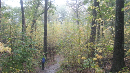
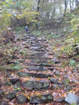
Shortly after the lake, the trail climbs straight up a beautifully laid set of stone stairs that seems to go on and on like a Roger Dean painting. This bit of trail caught me by surprise, as it scales the mountain back up to the ridgeline right next to some sheer cliffs. Hoang chugged on up them and only paused for a moment on top to remind me that I’d promised no steep climbs.
 Shortly after the climb is Penwood’s premier overlook called The Pinnacle. This brings my “Pinnacle” total to about 40 I’d guess. We saw absolutely nothing, of course, but did take a moment to down some fuel before continuing northward.
The remainder of our hike was peaceful and really quite easy. There is one steep downhill section at the very northern tip of the park, which levels out at the end of Wintonbury Road. I had no idea you could drive up here and park to explore this end of the park. There’s actually another scenic overlook just up at the top of that steep downhill.
After that, we maintained the ridgeline except for an obvious reroute down off to the eastern side of the mountain – apparently to avoid a new cell phone tower or something up on top. We crossed three powerline cuts which, for some strange reason, I’ve actually sort of come to enjoy. They always seem to have some unique plant life for some reason and quite frankly, when you cross one at or near the top of a mountain, there are always views.
Unless it’s pouring rain of course.
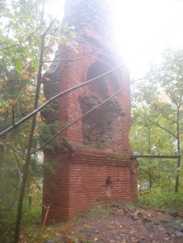
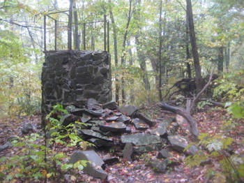
Before leaving the woods, the trail skirts an old chimney foundation, which is what remains of some failed resort. After a series of pleasantly graded switchbacks (courtesy of an old woods road), we popped out onto Mountain Road near some more strange old stately ruins.
In order to cross the Farmington River, we had about a mile of roadwalk to do, which is always weird in terrible weather. People stare at you like you’re insane rather than intrepid. We are, without a doubt, intrepid.
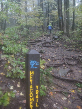
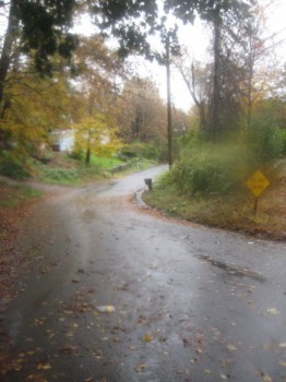
At the bottom of the hill, the trail takes route 189 across the river, but not before passing by one of the best restaurants in Connecticut: The Mill at 2T. While it was too early to stop in for lunch – and really, I think they’d have kicked us right out the door – it was nice to reminesce about our last meal there as we crossed over the swollen Farmington to the end of this section, where the trail re-enters the woods on its way to the Massachusetts border!
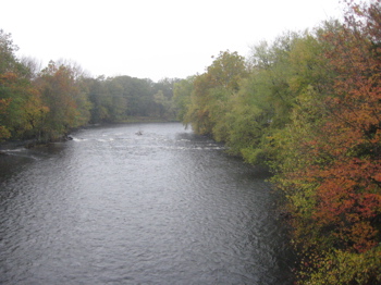
Crossing the Farmington River
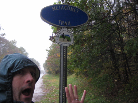
Section 11: Done!
Section 11 Approximate Breakdown:
0.0 Miles: Route 185/Penwood Park lot
0.2 Leave road
1.8 Lake Louise
2.0 Former Veeder cabin
3.1 View from The Pinnacle
3.3 Wintonbury Road/dirt road
3.8 View
5.3 Mountain Road
5.5 Cross Farmington Rive
6.2 Re-enter woods
End
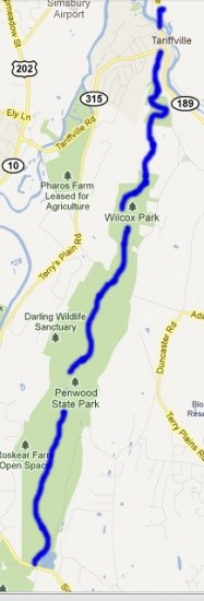


YEAH! More Metacomet stuff! You know I’m a sucker for a good Metacomet Hike.
Comment #1 on 10.22.11 at 2:36 pmThanks for the shout-out.
I used to hike in Penwood fairly often when I lived in Hartford. That lookout really does have a good view of the Farmington River Valley and Simsbury. According to legend, it’s where Metacomet watched the burning of Simsbury during the war.
Comment #2 on 10.24.11 at 11:49 amI hiked a portion of this trail today. I only had one car. So, when I got to Wintonbury Road, I turned around and went back through Penwood on the Orange Trail. No wild animals this time. Just a ton of ticks. I lost count of all those I pulled off the dog. And, I had one on my shirt. I also injured my knee. So, I’m gonna guess that was my last hike for 2011. We’ll see…
Comment #3 on 11.11.11 at 4:31 pm[...] home was almost entirely downhill. When I got home and re-read my friend Steve’s post about Penwood, I realized I had also managed to miss all the good stuff – building ruins and such. I think [...]
Comment #4 on 09.22.12 at 9:30 pmThanks for the journey! I hope you and your family are doing well.
Comment #5 on 11.26.12 at 10:05 pm