Whitestone -Jericho Connector
Plymouth/Thomaston/Watertown, 1.6 miles
March 31, 2009
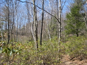 There’s no need for this post. Really. It’s a nice connector trail to have available, as one can hook up from the Jericho to the Mattatuck and continue west or east. It’s just not necessary for me to bother writing it up. Just look at this picture. It’s of nothing. Really.
It connects the Whitestone Cliffs Trail from before its loop begins, follows an old woods road down the hill to Route 262, follows the bank of the Naugatuck River, crosses the bridge, passes underneath Route 8, and then enters the woods to ascend a hill, finally connecting with the Jericho Trail.
But here’s the thing: For people like me that want to hike the whole Jericho Trail, this connector chops off the last half mile or so. And that’s just not going to happen.
The walk along the river is nice I suppose and the official CFPA sign probably contains the most characters. So there’s that.
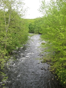
Junction with the Whitestone Cliffs (Plymouth) and the Naugatuck River (Dividing Thomaston and Watertown)
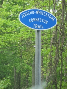
Exciting signage (Thomaston)
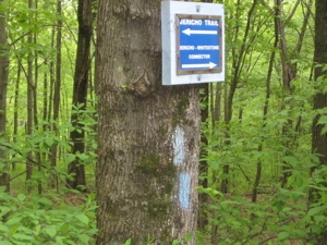
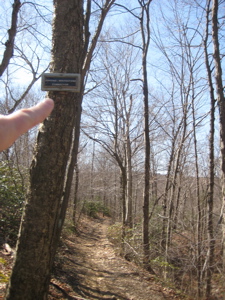
Intersection with the Jericho (Watertown)


Leave a Comment